
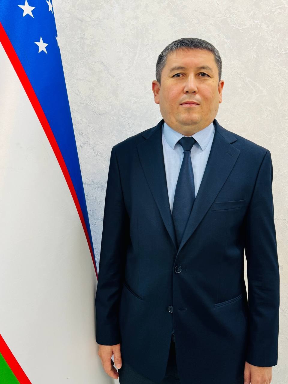
Sanaqulov Soʻhrob Formonqulovich
- Reception hours:
- Monday–Friday
- Phone:
- +998 94 936-94-05
Duties and areas of work
1. General duties
The Cartographic Analysis Department is the unit of the Institute responsible for collecting, analysing and digitizing cartographic and spatial data on soil resources and for creating soil maps.
The department’s main goal is to create digital soil cover maps of the country’s regions using modern geographic information systems (GIS) and remote sensing, to build a scientific cartographic basis for monitoring and managing soil resources, and to strengthen the Institute’s research capacity in this field.
2. Main duties
1. Creating and updating soil maps
- Preparing and updating maps of soil cover, soil types and soil fertility for the country’s regions;
- turning the results of field surveys and ground observations into cartographic materials;
- digitizing archival and historical cartographic materials and converting them to modern formats.
2. Introducing GIS technologies
- Building a spatial database with geographic information system (GIS) software;
- using remote sensing data (satellite and aerial imagery) to analyse soil cover;
- creating and updating digital maps and thematic layers.
3. Mapping soil degradation and monitoring results
- Mapping areas affected by soil erosion, salinity and degradation;
- cartographic analysis of dynamic changes in the regions based on monitoring results;
- preparing cartographic materials for recommendations on restoring the fertility of degraded soils.
4. Maintaining and storing the database
- Building and regularly updating a spatial and attribute database on soil resources;
- ensuring the reliability and security of the database;
- setting up data exchange with the relevant state bodies.
5. Organizing analytical and methodological work
- Preparing scientific articles, reports and recommendations based on cartographic analysis;
- providing methodological support in GIS and cartography to department staff and other specialists of the Institute;
- training young specialists in modern cartographic and GIS methods.
6. Working with documents and reports
- Preparing reports, reference notes and analytical materials on the department’s work;
- providing cartographic materials and data at the request of relevant organizations and the ministry.
3. Main areas of the department’s work
The Cartographic Analysis Department should focus on the following priorities:
- creating and updating soil maps;
- introducing GIS technologies;
- using remote sensing data;
- cartographic analysis of soil degradation and monitoring;
- maintaining a spatial database;
- organizing methodological and training work;
- cooperating with the relevant state bodies.
4. Expected results
As a result of the department’s effective work:
- modern digital maps of the soil cover of the country’s regions will be created;
- the monitoring and management of soil resources will become more effective;
- recommendations on identifying and restoring degraded areas will improve;
- the Institute’s research capacity in GIS and cartography will grow;
- the spatial database will expand and be updated regularly.
Biography
S.F. Sanaqulov has nearly 19 years of work experience.
He began his career in 2007 as a postgraduate student at the State Research Institute of Soil Science and Agrochemistry of the Yergeodezkadastr State Committee. He then worked at the same institute as senior laboratory assistant (2010–2011) and junior researcher (2011–2013). In 2014–2017 he worked at the Research Institute of Soil Science and Agrochemistry of the Agricultural Research and Production Centre of Uzbekistan, and in 2017–2020 as a junior researcher in the “Soil Fertility Assessment and Management” department of the corresponding institute of the Davergeodezkadastr Committee of the Republic of Uzbekistan. In 2020–2022 he was acting senior researcher at the Research Institute of Soil Science and Agrochemistry of the Agricultural Research and Production Centre of Uzbekistan, and in 2022–2024 acting senior researcher in the department of “Soil Monitoring, Ecology, Fertility Assessment and Restoration of Degraded Soils” of the Institute of Soil Science and Agrochemical Research of the Ministry of Agriculture. Since 1 May 2024 he has headed the institute’s Cartographic Analysis Department.
Main activities and achievements:
- defended a PhD in Agricultural Sciences in 2019;
- holds the academic title of
- “Senior researcher”;
- has many years of research experience in soil science and agrochemistry;
- has worked in soil fertility assessment, soil monitoring and ecology, restoring the fertility of degraded soils and cartographic analysis.