
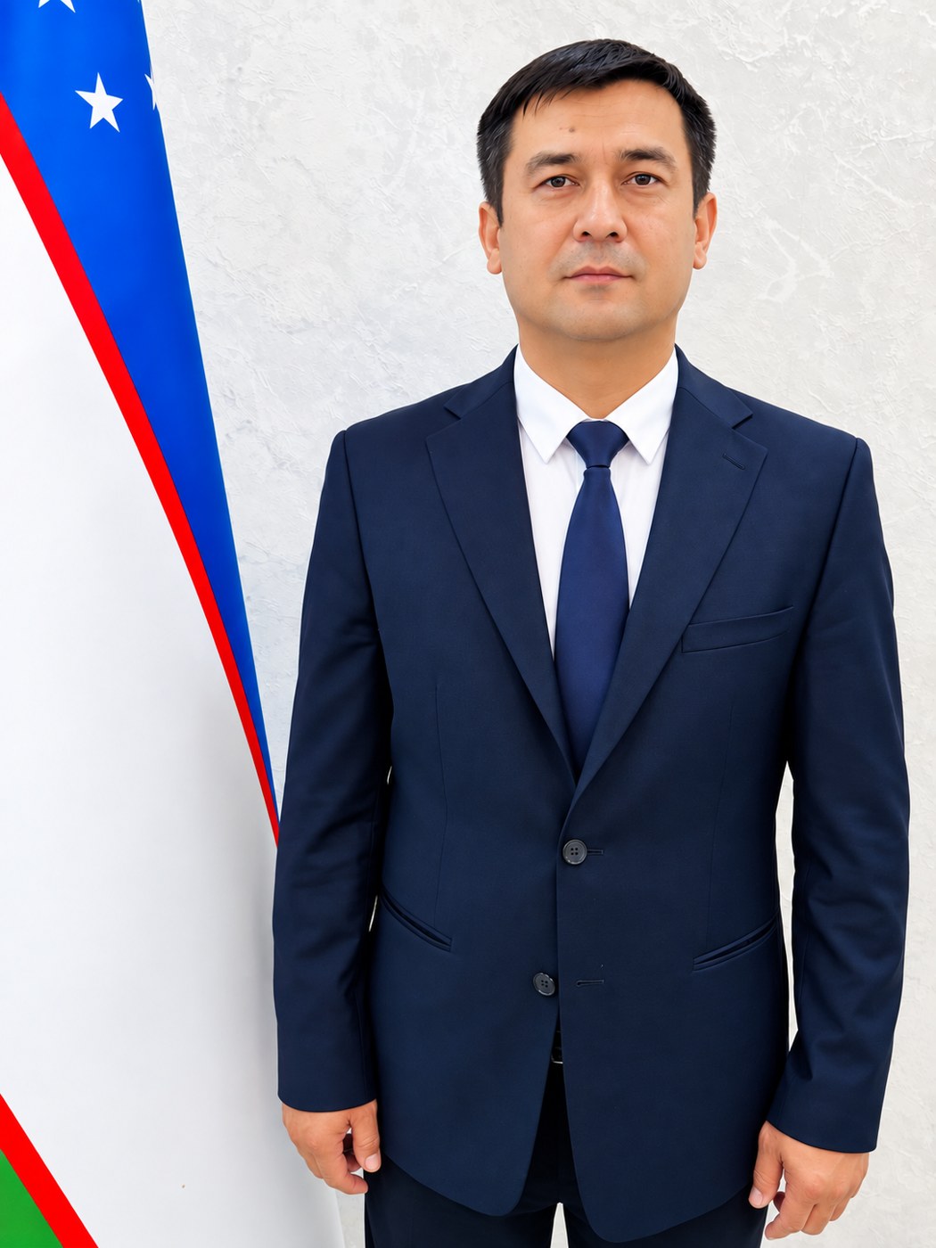
Turdaliyev Jamolbek Moʻminaliyevich
- Reception hours:
- Daily · 11:00–13:00
- Phone:
- +998 97 955-57-33
Duties and areas of work
1. General duties
The Department of Genesis, Geography and Reclamation of Saline Soils is the unit of the Institute responsible for studying the genesis and patterns of geographical distribution of saline soils, assessing their degree of salinity and reclamation condition, preserving and increasing the fertility of saline land, preventing salinization and developing science-based methods and innovative technologies to combat it.
The department’s main goal is to study the genesis, geographical distribution and salinization patterns of saline soils across the country, assess them using modern field, laboratory and remote sensing methods, and develop science-based technologies and recommendations for improving the reclamation condition of saline land, restoring its fertility and preventing salinization.
2. Main duties
1. Studying the genesis and geography of saline soils
determining the causes and patterns of salinization in the soils of Uzbekistan; studying the type, degree and chemical composition of salinity and its distribution in the soil profile; assessing the impact of natural and anthropogenic factors on salinization.
2. Assessing the reclamation condition of saline land and improving methods for its improvement
comprehensive assessment of soil salinity, groundwater level and mineralization, the water–salt regime and the condition of collector and drainage systems; developing optimal reclamation measures for different soil and reclamation conditions.
3. Developing and testing modern and innovative technologies for improving saline soils
scientific assessment of water-saving irrigation technologies, efficient use of mineralized and collector-drainage water and water quality improvement, including the use of treated water; field-testing chemical, biological and agro-reclamation methods.
4. Developing practical measures to preserve and increase the fertility of saline soils
improving the water–salt regime and the agrochemical, physical and physico-chemical properties of soil; developing regional and differentiated agro-reclamation recommendations for the efficient use of saline land.
5. Monitoring soil salinity with remote sensing and digital cartography
detecting and assessing salinity by integrating satellite data, GIS technologies and field surveys; compiling salinity cartograms and digital thematic maps at various scales; monitoring salinity dynamics in space and time.
6. Creating technologies to prevent and combat soil salinization
assessing and forecasting the risk of secondary salinization; early identification of factors leading to salinization; optimizing the water and salt balance of irrigated land and developing preventive reclamation measures.
7. Building a digital database of saline soils
building and regularly updating a digital database of saline soils by combining field, laboratory, archival, cartographic and remote sensing data.
8. Introducing research results into practice
testing and introducing the technologies, guides, cartograms and recommendations developed at farms, clusters, water management and agricultural organizations; preparing practical recommendations for regions on reducing salinity.
9. Taking part in implementing tasks set by state programmes and regulations
taking part, within the department’s remit, in implementing the tasks set by the laws of the Republic of Uzbekistan, Presidential decrees and resolutions, resolutions of the Cabinet of Ministers, state programmes and other regulations on the rational use of soil and land resources, preserving and increasing soil fertility, preventing salinization and improving the reclamation condition of saline land.
carrying out soil surveys on agricultural land under state programmes and assignments;
assessing the condition of irrigated and saline land and compiling and updating salinity cartograms and digital maps;
taking part in digitizing and systematizing data on soil salinity and reclamation condition and integrating them with the relevant state information systems;
preparing, analysing and providing scientific data on soil and salinity within the department’s remit for CropAgro, E-ijara and other relevant state information systems;
carrying out soil salinity monitoring, inventory and mapping on request from state organizations and under approved programmes;
preparing analytical data, conclusions and practical recommendations on the results of state programmes and assignments.
3. Main areas of the department’s work
The Department of Genesis, Geography and Reclamation of Saline Soils should focus on the following priorities:
research on the genesis and geographical distribution of saline soils;
determining and monitoring the type and degree of soil salinity;
comprehensive assessment of the reclamation condition of saline land;
developing innovative reclamation technologies to reduce and prevent salinization;
compiling salinity cartograms and digital thematic maps with remote sensing and GIS;
building a digital database of saline soils;
developing scientific and practical recommendations on restoring and increasing the fertility of saline land;
testing research results under production conditions and introducing them into practice.
taking part in implementing tasks on soil salinity arising from state programmes and regulations, preparing cartographic data and providing it to the relevant information systems;
4. Expected results
As a result of the department’s effective work:
new scientific data on the genesis, geography and salinization of saline soils will be obtained;
methods for assessing and improving the reclamation condition of saline land will be improved;
innovative technologies to reduce and prevent soil salinization will be developed and tested;
salinity cartograms and digital thematic maps will be created with remote sensing and GIS;
a digital database of saline soils will be built and kept up to date;
regional recommendations on increasing the fertility and sustainable use of saline land will be developed;
the introduction of the scientific solutions and technologies developed will expand.
Under state programmes, cartographic and digital data on saline land will be updated and their use in state information systems will expand.
Biography
J.M. Turdaliyev has 15 years of work experience.
J.M. Turdaliyev has worked at the Institute of Soil Science and Agrochemical Research since 2012. He began his research career at the Faculty of Chemical Technology of the Fergana Polytechnic Institute and held various positions in higher education.
Within the work of the Department of Genesis, Geography and Reclamation of Saline Soils he has worked productively on studying saline soils, improving their reclamation condition, preserving and increasing soil fertility, and developing and introducing modern reclamation technologies. In particular, under state programmes and research projects he has made a worthy contribution to surveying saline land, assessing its degree of salinity and compiling cartograms, monitoring soil salinity, field-testing innovative technologies and introducing research results into production.
Main activities and achievements:
author of more than 80 scientific articles in soil science and agrochemistry;
active participant in national and international scientific conferences;
as head of the Department of Genesis, Geography and Reclamation of Saline Soils he has achieved significant results in implementing state programmes and research projects, studying saline land, improving its reclamation condition and introducing research results into practice;
in 2022 he was awarded the commemorative badge “30 Years of the Constitution of Uzbekistan”;
in 2014 he completed professional training at the Central Fertilizer Quality Control Institute in India and was awarded a diploma and certificate;
in 2024 he completed professional training at Leibniz University in Germany under the project “Modernization of Agriculture of the Republic of Uzbekistan”.
Since the beginning of 2020 he has headed the Department of Genesis, Geography and Reclamation of Saline Soils of the Institute of Soil Science and Agrochemical Research.